Get In Touch With Us
If you have any queries then you can simply contact us or leave us a message & our team will get back to you as soon as possible.

Open Sky has pioneered many world firsts since it was founded in 2017, and we are now leaders in the industry.
Our turnkey solutions deliver accurate close visual inspection records and asset condition information to drive maintenance decisions for a variety of sectors around the world. We also deliver emissions monitoring, aerial surveys and structural inspections in some of the most challenging on- and offshore environments.
We are driven by the core belief that the biggest factor in deriving value and ROI from your drone inspection program is the speed at which you can get to a clear, effective decision. We combine operational best practices, the latest secure technology, world-class drone pilots, and industry expertise to deliver end-to-end solutions for businesses to make critical decisions about their assets.
The four main business sectors that we provide drone surveys in includes the energy sector comprised of oil & gas, wind energy and hydro electric dams. In the Infrastructure sector our drone surveys can be used for everything from building structural inspection to roofing, viaducts, bridges and even 3D modelling and topographical surveys. In the utilities sector, our drone surveys are helping to maintain and inspect powerlines, electrical towers, cooling towers and so more that help homes stay connected. And in the transportation sector, everything from motorway bridges to railway lines and ventilation shafts in tunnels are all areas that we can provide aerial inspections on with minimal to no shut down of roads or rail links.
The advantages of using drone surveys for your visual inspection needs includes everything from the quality of the inspection data to the cost savings and the safety benefits it brings as human life is not put in harms way.
Building scaffolding to allow an inspection crew to perform a visual inspection is an expensive and time consuming process. It can result of normal operations being disrupted or even put on hold and puts human life at risk while working at height.
Drone surveys are a faster, more detailed and safer way of conducting close up visual inspection of key assets and infrastructure which would normally be conducted by a team of ‘at height’ specialists using rope access, scaffolding and other ‘at height’ methods to reach inspection points.
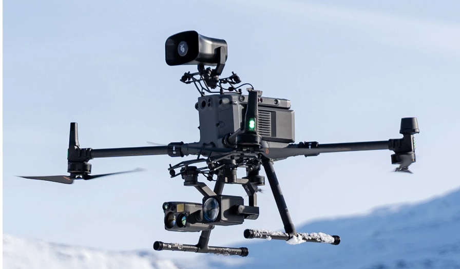
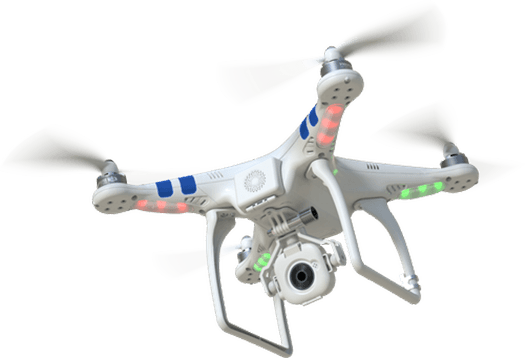
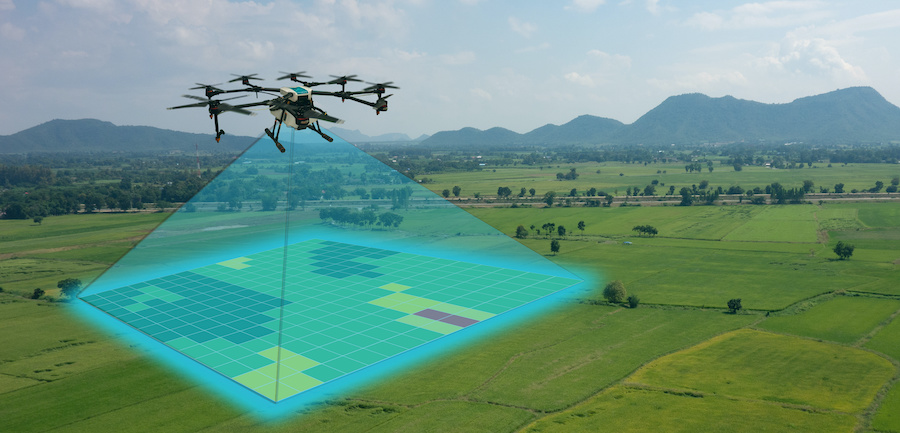
Drones are unmanned quad blade aerial vehicle that we can fit with video, photography and thermal imaging cameras. They allow us to conduct up close visual inspections of structures, areas of interest and other objects, capturing visual data in the form of photos, video and scans that are collected and processed using powerful cloud based software to produce detailed.
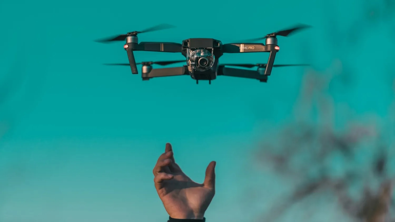
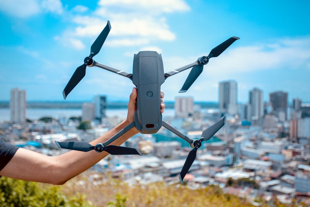
Take advantage of our quality aircraft and advanced permissions to capture imagery for visual inspections in any environment.

With Open Sky’s aircraft, methodology and software, we are now capable of generating high-quality 3D models that displays assets in accurate in-depth detail.

With a variety of sensors rapidly being generated to suit the drone industry, this gives us the advantage to generate a higher standard of data.
If you have any queries then you can simply contact us or leave us a message & our team will get back to you as soon as possible.