Get In Touch With Us
If you have any queries then you can simply contact us or leave us a message & our team will get back to you as soon as possible.

With Open Sky’s aircraft, methodology and software, we are now capable of generating high-quality 3D models that displays assets in accurate in-depth detail.
With this kind of access to data, clients can not only use the created 3D models for shared internal use to highlight and collaborate together on asset inspection, but with Open Sky’s software, we can create comparative models to show areas of degradation and areas of interest. Perfect for offshore installations, rail infrastructure, or indeed any ongoing projects and surveys, Open Sky can provide the solution to help you create something that can heighten the standard of how you conduct your business and take control of your asset data.
We can deliver intricate, high quality, detailed, 3D models of a wide range of objects, surfaces, landscapes, buildings, and difficult to access areas. The output is a photo-realistic colour 3D model of the structure or site backed by a detailed ‘point cloud’ that can be imported into a professional mapping system. Tools online allow clients to view the structure from any angle, zoom in to look in high resolution detail at specific features, apply colour overlays for contours or showing vegetation or take a wide range of accurate measurements of sizes, distances, volumes of stock heaps etc.
These models are using extensively in a wide range of industries including
Create accurate point cloud for projects and assets safely in rapid time
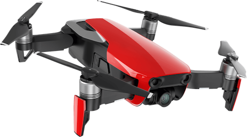
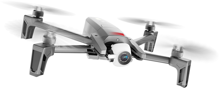
With a variety of sensors rapidly being generated to suit the drone industry, this gives us the advantage togenerate a higher standard of data than previously seen, especially for clients whose projects require photogrammetry.
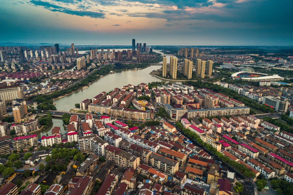
This allows us to ideally select a suitable aircraft from our fleet and plan accordingly to create a data set of accurate high-quality imagery that enables our clients to see precise measurements and recordings of their sites, projects and assets. We provide professional aerial mapping and photogrammetry services for buildings and landscapes. These can be used for a huge range of applications including providing essential coverage of locations or events, dealing with planning applications, managing natural disasters and environmental incidents, providing evidence at accident or crash sites, managing forestry, sandbanks, tidal areas, algae blooms, mapping geological areas of interest and identifying possible sites of archaeological interest. These are created by flying a 90° grid pattern over the area to collect the required data. We can use Ground Control Points (GCPs) to ensure our maps are accurate to less than 20 centimetres and can provide full contour lines to your specification, drastically reducing the time taken it would take a traditional surveyor to achieve this.

High-quality interactive data that brings your assets into the digital age
Much like a 3D model, an orthomosaic can really help capture and display survey projects and land in a way you have never seen before. Stitching data together with our software to create a model that shows accurate ground sampling distances that are so essential to many clients’ needs. Ideal for ongoing project development or for internal use, the benefits of generating an orthomosaic from Open Sky’s aerial data can truly be endless, and suitable to archive and display as required for your clients and colleagues. An orthomosaic (interactive drone map) is a geometrically correct aerial image that is composed of many individual still images that are stitched together. Orthomosaics provide a similar view to what you’d see in the satellite view in Google Maps. However, the data is far more accurate and up to date giving team members the critical and potentially time sensitive insights they need at the touch of a button. The ability to zoom in and out on key points of interest, identify potential issues, and track progress, all without distorting the image is a powerful tool across many industries, including real estate, construction, property management, property inspections, and many more.
If you have any queries then you can simply contact us or leave us a message & our team will get back to you as soon as possible.