Get In Touch With Us
If you have any queries then you can simply contact us or leave us a message & our team will get back to you as soon as possible.

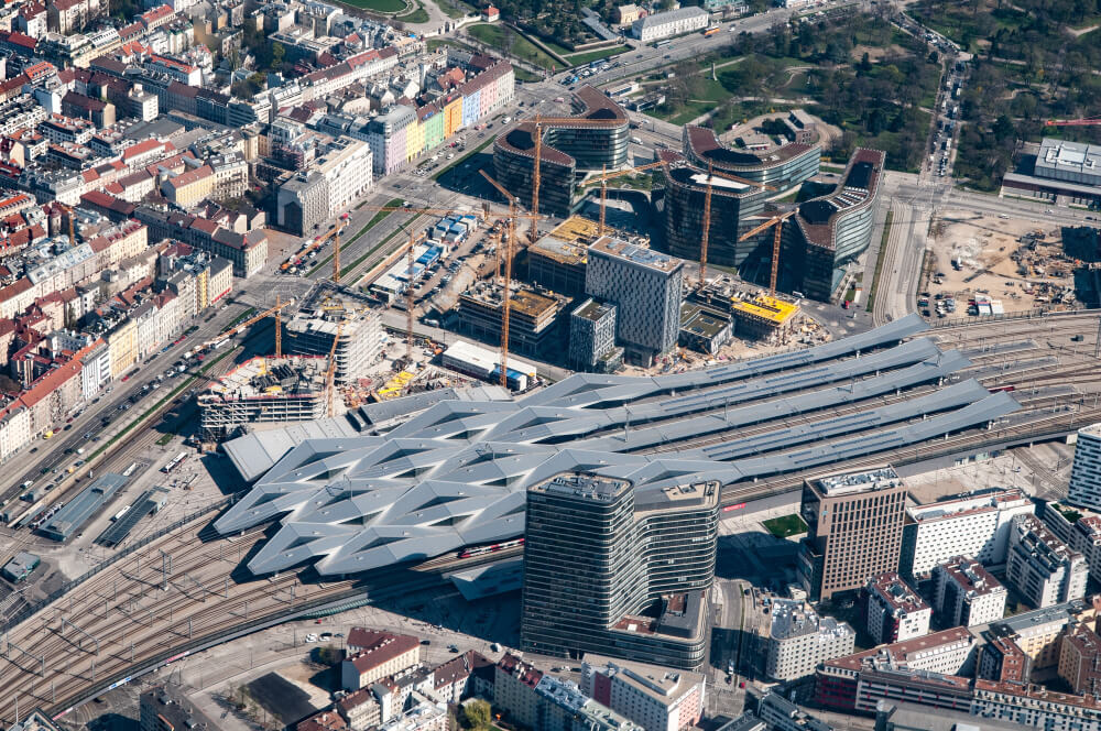

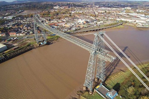
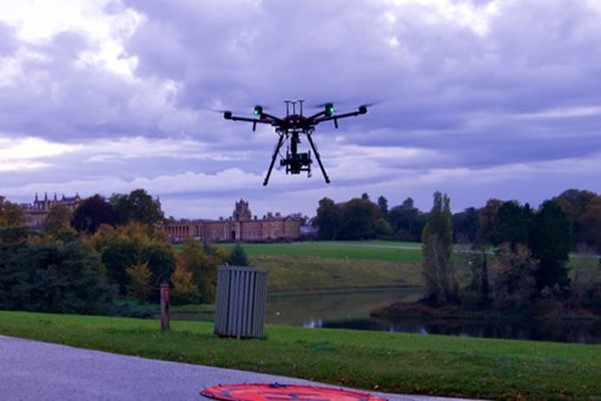
Working directly for both Network Rail and other railway operators
Flying alongside rail and network operators to utilise fresh effective methodology throughout the industry.
Thanks to our extensive and safe approach to each operation, we have enjoyed working closely and developing our reputation throughout the UK railway framework for years, having been one of the most consistent operators of unmanned aircraft to provide a range of services.
Working directly for both Network Rail and other railway operators Open Sky has been at the forefront of adapting new methods and technology to the industry in ways that increase safety for workers and create time and cost benefits for all those involved, applying and adapting it to the thousands of miles of railway throughout the country.
With our expert pilots trained not just to maintain safe flight practices alongside operational railway services but with an advanced approach to operating within congested spaces, Open Sky has helped provide data capture opportunities ranging from standard station inspections, to orthomosaics and 3D models and even vegetation analysis.
With our permissions and choice of bespoke aircraft outstripping other competitors, Open Sky is well suited to meet the needs of our clients in an industry where attention to detail and high-quality capability is a vital necessity to create safe and effective working practices.
With a background and reputation, you can rely on, contact us on how we can help capture exactly what you need.
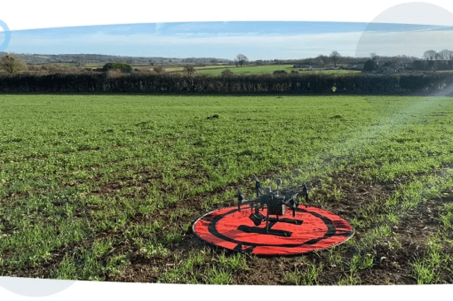
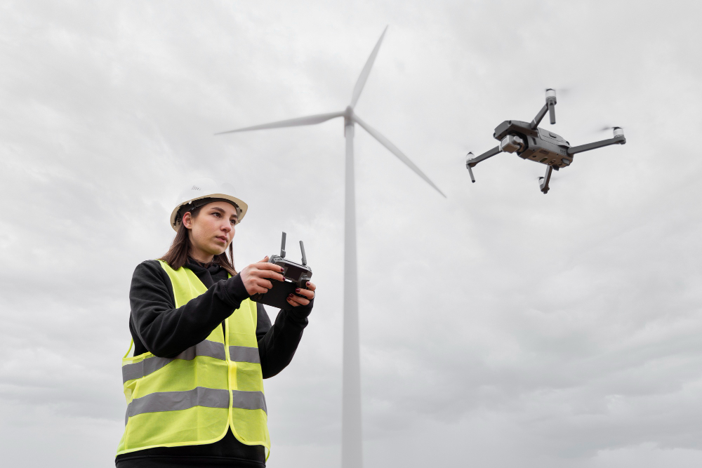
Drone Services Much like infrastructure, utilities and power dictate many vitalities of every day life and deserve to be approached with precision using only the best equipment available. With the ease and the increasing reliance on drones to ensure the security of power supply facilities, Open Sky is able to offer its highly professional services to ensure accurate results, no matter the location. Faster than traditional methods and effectively minimising those needed on-site, unmanned aircraft technology can be deployed for monitoring, operations, and maintenance services, providing complex datasets with up to sub-5mm accuracy, leading to our clients developing bespoke solutions and insights. With a full team of pilots available to take on any operations in these services, we can be deployed to any location throughout the country with the finest technology, specifically chosen to what best suits our clients needs, working with them from the start.
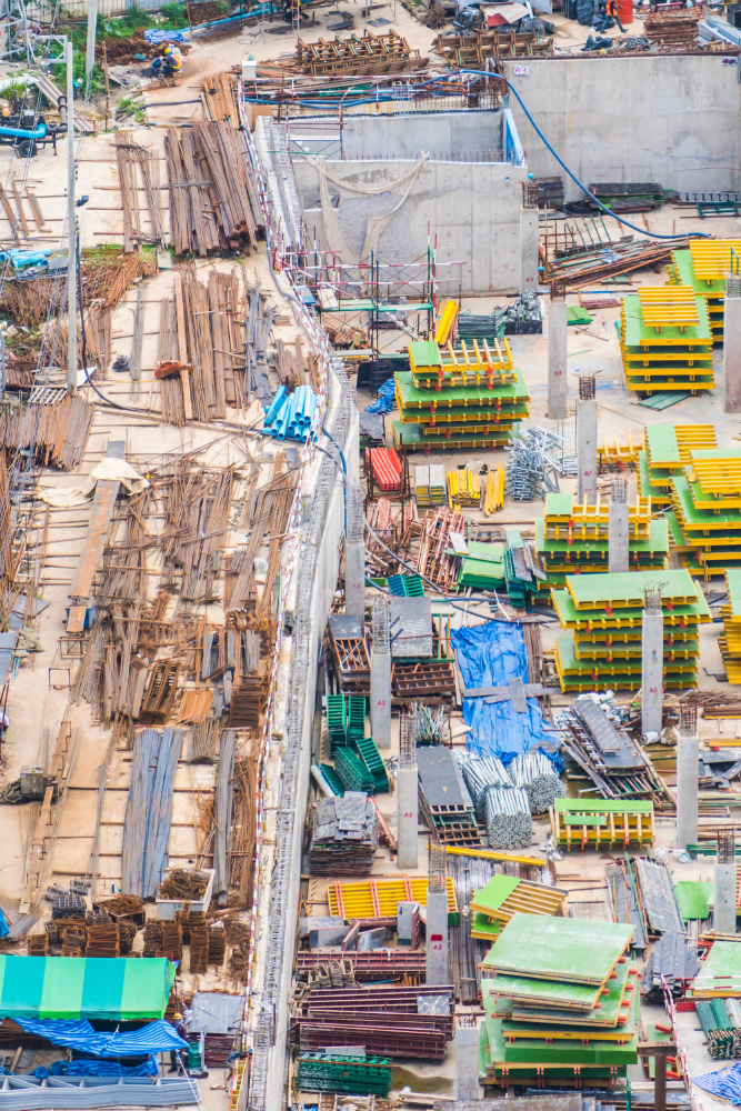
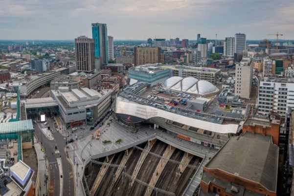
Unmanned aircraft have been a staple within the construction industry since their inception, adapting to a usage that was immediately seized upon throughout the world. Often for those in construction, the necessity to see the entire work site and how best to plan any ongoing project and utilise resources and space can be of vital importance.
With drones, clients can easily and swiftly capture a vantage point that fully reveals exactly what they need, showing site access points, ongoing project development and general site management.
But simply speaking, this is where the benefits of using drones only begin.
Whether it’s a busy stretch of live railway, a congested worksite or an entire property portfolio, our advanced pilots can safely capture quality imagery and survey-grade data to a sub-5mm accuracy level that is unmatched in the industry – all in a fraction of the time taken by traditional survey methods.
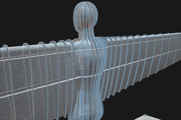
Enhanced UAV data is seamlessly integrated into existing workflows throughout the project lifecycle, with services ranging from condition surveys, building elevations and topographical surveys to 3D Modelling, Health & Safety assessments and environmental assessments, with all data then going on to be processed through our specialised software for results that can set you and your project’s needs apart.
Elevating inspections and surveys by capturing a fresh perspective.
If you have any queries then you can simply contact us or leave us a message & our team will get back to you as soon as possible.