The equipment behind the imagery

Our DJI drone fleet

Meet the aircraft and payloads we use for aerial photography, visual inspections, thermal surveys and mapping across Scotland.

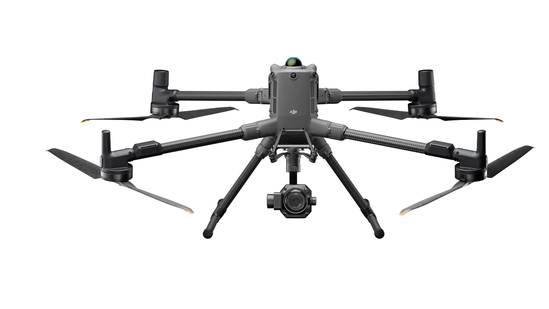
DJI Matrice 400 with Zenmuse H30T payload
Manufacturer image: DJI

3 aircraft

DJI Matrice 400

Our Matrice 400 aircraft support interchangeable payloads. The Zenmuse H30T combines visual and thermal imaging for inspection work; the Zenmuse P1 provides a full-frame camera for photogrammetry and mapping.

Explore inspection services →
DJI Matrice 4T
Manufacturer image: DJI

3 aircraft

DJI Matrice 4T

A compact enterprise aircraft with integrated visual and thermal cameras. Part of our fleet for building, roof and asset inspection briefs.

Explore thermal surveys →
DJI Matrice 4TD
Manufacturer image: DJI

5 aircraft

DJI Matrice 4TD

Visual and thermal imaging capability for inspection work. We select the aircraft and capture approach around the site, conditions and information required.

Explore solar inspections →
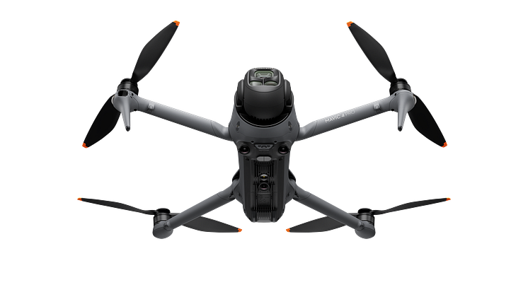
DJI Mavic 4 Pro
Manufacturer image: DJI

Aerial photography & video

DJI Mavic 4 Pro

Our camera-drone option for property and commercial imagery, with a triple-camera system for aerial photography and video.

Explore aerial photography →

Matrice 400 payloads

H30T for inspection.
P1 for photogrammetry.

Our Matrice 400 fleet includes H30T and P1 payload options. We agree the camera, capture method and outputs around the job.

The H30T provides visual and thermal imaging. The P1 is designed for photogrammetry, including aerial image capture for 3D models and orthomosaic maps.

Explore drone mapping →

DJI Matrice 400 with Zenmuse P1 photogrammetry camera
Manufacturer image: DJI

Mapping support

DJI D-RTK 3 positioning

Alongside our Matrice 400 and P1 mapping setup, D-RTK 3 positioning support helps place captured data within an agreed spatial reference.

We define the coordinate system, control and independent checks around your accuracy requirements. Aircraft positioning precision and the accuracy of the finished map are different measures.

See mapping outputs and the capture process →

Different cameras, different tasks

Match the payload to the question.

P1: overlapping photographs for 3D models and overhead maps.

H30T: thermal and visual imagery for inspections and agreed search-support briefs.

Explore thermal search support →

Manufacturer background: DJI D-RTK 3.

The right aircraft for your project

The fleet gives us different capture options. The quotation sets out the agreed scope, deliverables and timing; aircraft and payload selection depend on the site and project requirements.

Send your location and a short brief to discuss a suitable approach.

Request a quote →